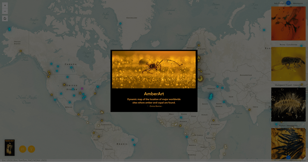
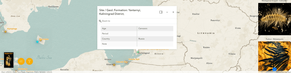
Explore the distribution of amber localities and fossil discoveries using the interactive GIS application.
How to use the map
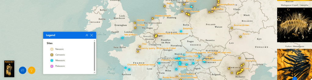
- Click the Legend button (bottom left) to show or hide the map legend.
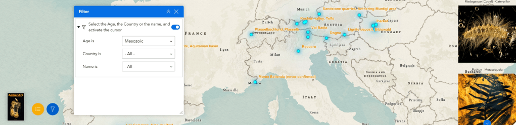
- Click the Filter button (bottom left) to search by Age, Country, or Name.
- Scroll through and click the thumbnails on the right to locate the main sites.
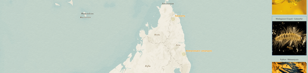
- Click any map point to view its datasheet (database in progress).
Is a site missing from the map? Feel free to contact me, I’ll be happy to add new locations.
